 |
1990
WELCOME TO CAMBRIA COUNTY AND JOHNSTOWN, published by
Universal Advertising Associates, Cincinnati. This is a
regional advertising map, the inside is filled with ads
from local companies and a black & white road map of
Cambria County. |
 |
1991
PENNSYLVANIA-THE KEYSTONE STATE, from Visual Encyclopedia,
copyright Marshall Penn-York Co., Syracuse. New map
vendors began to jump into the game. This is a larger map
than most old oil company ones, 42 x 29 inches, and the
Map Image
shows the cartography. |
 |
1992
RAND MCNALLY ROAD ATLAS. The paucity of road maps in the
1990's is matched by the abundance of road atlases. Here
is a typical example. Pennsylvania covers four pages in
this 15 x 11 inch atlas. |
 |
1993
OUTDOOR PENNSYLVANIA, distributed by the Alfred B. Patten
Co., Doylestown; copyright Information America, Inc.,
Janesville, Wisconsin. Another new map vendor. |
 |
1994
RAND MCNALLY ROAD ATLAS. A 128 page paperback road atlas.
Pennsylvania again given four pages. |
 |
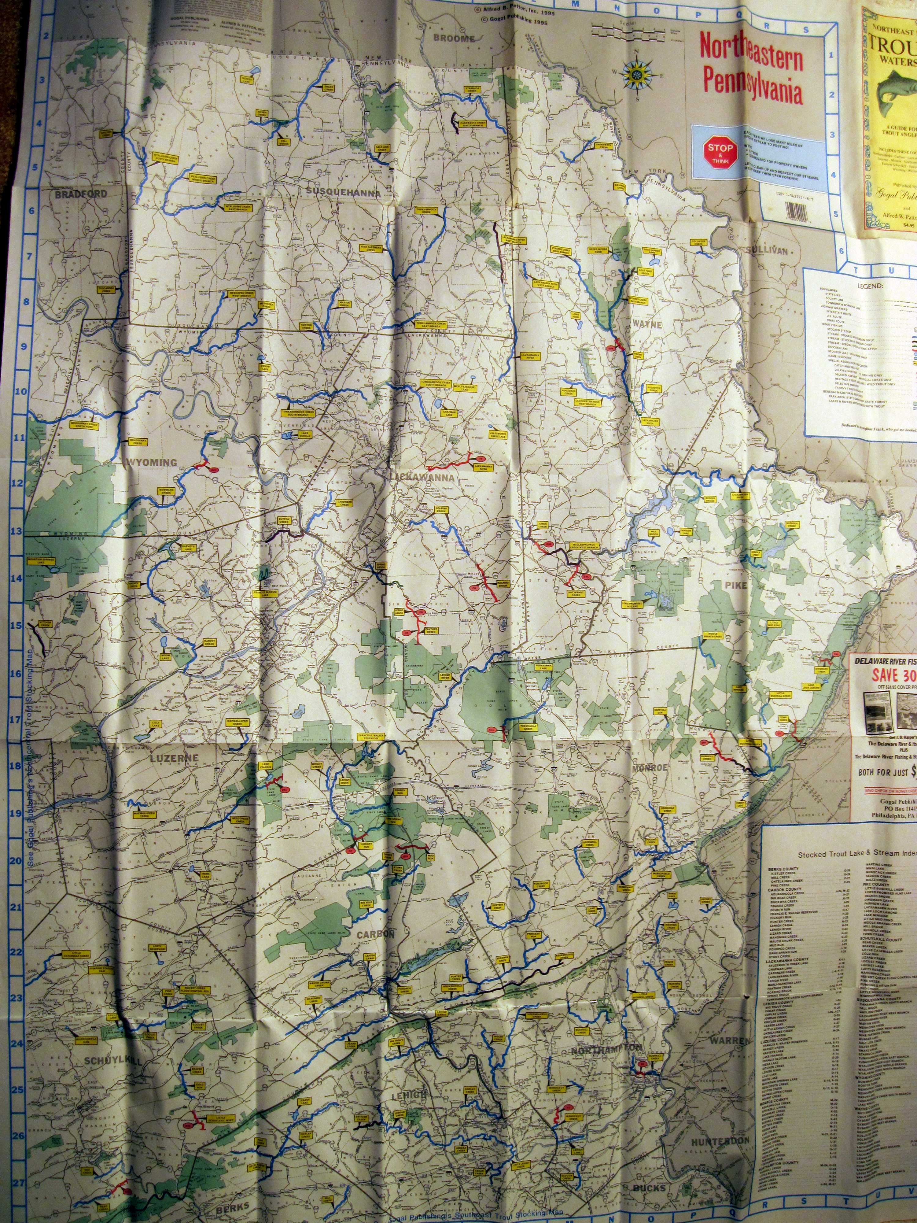
1995
NORTHEAST PA TROUT WATERS, A GUIDE FOR ANGLERS. Published by Gogal Publishing and Alfred B. Patton, Inc. 1995. The map is titled 'Northeastern Pennsylvania'. This is an attractive road map with the stream locations overlaid in blue. Similar maps were made for other parts of the state. Blank verso. Size: 45 x 35 inches. |
 |
1996
RAND MCNALLY. Another map sold direct to the public. This
one cost $2.95. The
Map Image
shows Rand McNally's latest
work. |
 |
1997
MID-ATLANTIC ALLEGHENY HIGHLANDS, published by Michelin
Travel Publications, Greenville SC. This is a regional
map including Pennsylvania, New Jersey, Delaware,
Maryland, and northern Virginia and West Virginia.
Michelin is a fixture in Europe and began selling travel
publications in the US in a big way in the 1980's. This
is a large map, 52 x 39 inches, printed on very good
paper, and the
Map Image
shows the attractive layout. |
 |
1998
PITTSBURGH TO CUMBERLAND TRAIL, published by the
Allegheny Trail Alliance in 1996 and revised in 1998. The
map shows the bike trail being built to run from
Pittsburgh to Cumberland where it will connect to the
Chesapeake and Ohio Canal trail to go into Washington, DC.
More recent and up-to-date maps of this trail can be
found at Great Allegheny
Passage.
|
 |
1999
PENNSYLVANIA, copyright S. G. A. Ltd. 1999 edition,
published by Peter Heller Ltd., distributed by MapArt
Publishing Corp. Another new map vendor. This map cost $5
and is 39 x 27 inches unfolded. It has a nice road layout
that emphasizes the nodal connection of routes, rather
like a subway map, with less regard than usual for
relative scale and proportion, see the
Map Image
. |
 |
2000
POCONOS AND THE NORTHEAST, published by the Pocono
Mountains Vacation Bureau, Stroudsburg. This advertising
map covers Wayne, Pike, Monroe, Carbon, Lackawanna,
Luzerne, Susquehanna, and Wyoming counties. The map is
from Carto, Cartographic Information Division. |
 Free oil
company road maps disappeared in the 90's, but you can still pick
up a free state or county tourism map or a free AAA map if a
member. The building of highways became a major federal pork
barrel item for Congress and Pennsylvania benefited more than
most states in the 90's because a congressman from Altoona became
head of the House Transportation Committee. The Pennsylvania
Turnpike embarked upon a major expansion of toll roads especially
in the western part of the state. New map vendors began to pop up
to fill the road map void and a new fad in road maps at the end
of the decade was to encase them in plastic. This was necessary
because of all the coffee cup holders installed in new cars.
Free oil
company road maps disappeared in the 90's, but you can still pick
up a free state or county tourism map or a free AAA map if a
member. The building of highways became a major federal pork
barrel item for Congress and Pennsylvania benefited more than
most states in the 90's because a congressman from Altoona became
head of the House Transportation Committee. The Pennsylvania
Turnpike embarked upon a major expansion of toll roads especially
in the western part of the state. New map vendors began to pop up
to fill the road map void and a new fad in road maps at the end
of the decade was to encase them in plastic. This was necessary
because of all the coffee cup holders installed in new cars. 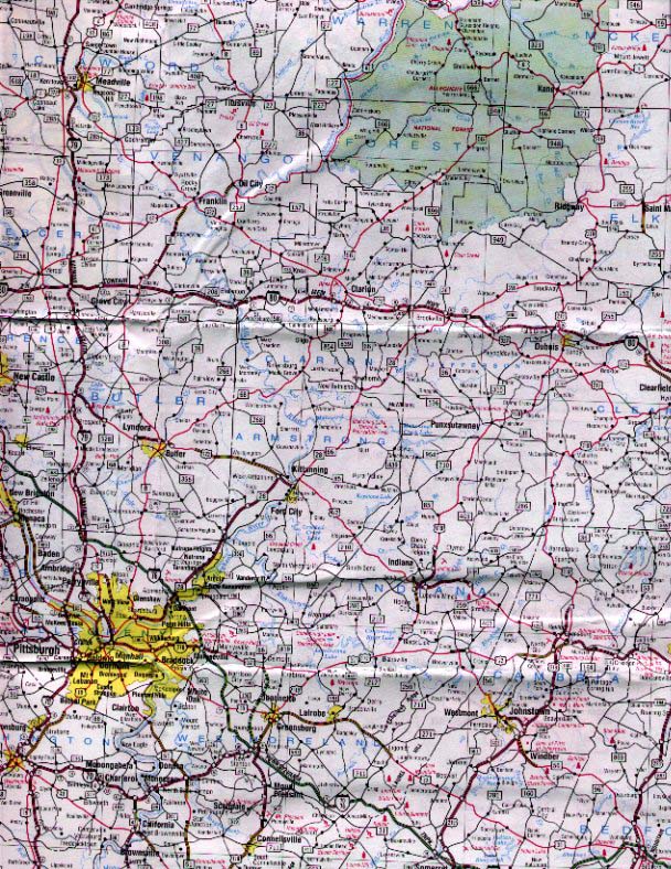